You finish a race and notice that your GPS device reads either too long or too short. However, did it really happen that way, or were the tangents not properly run? In geometry, a tangent is a straight line that touches a curve at a single point without crossing it. So before you run over to the race director and claim the route was measured incorrectly, let’s talk about this in more detail.

Measuring a route takes more than just going from start to finish. There are many fields in motion, as a race is getting ready. While a course is first planned using a satellite map, a Jones Counter is put on a bike’s front tire to precisely record the distance required while surveying the road. Following the bike’s calibration, the route will be ridden twice, measuring per mile.
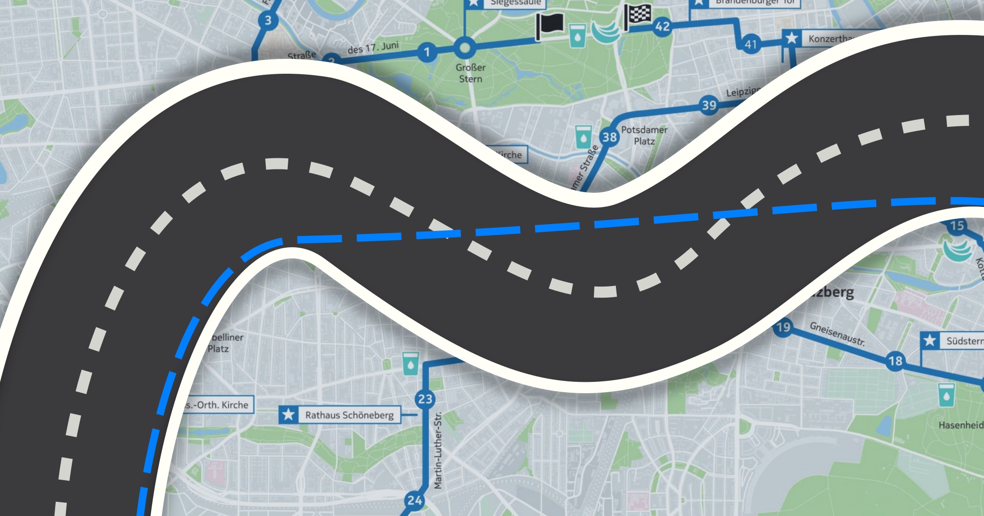
Depending on what is fixed in place, the course is measured either from the start point to the finish line or in reverse. Running involves hugging the inside edge of the tangent, which is 30 cm from the curb legally, and continuing to do so around corners. Try to take the straightest path feasible when there are curves (See Figure)
For a variety of reasons, running the tangents can be difficult. Crowded races, frequent swaying, GPS problems, building and tree obstructions, poor road conditions, cone blockage, and lack of focus. Fear not-while we can’t always run perfect tangents, we can try to come as close as possible to running our personal best!
I want to thank Jacob Smith, a Running Zone employee, for allowing Joe Dreher, Emily Holzer, and I to watch him demonstrate and discuss how to measure a course and correctly run the tangents.
